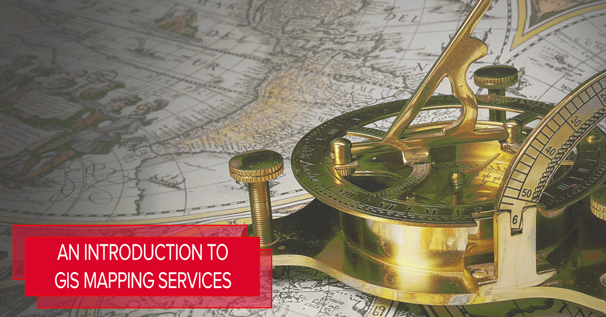
A GIS or a Geographic Information System is a computerized or digitalized data management system or software that is being used to manipulate, manage, capture, store, retrieve, analyze, and display dimensional geographic information. The entirety of a certain GIS map is usually presented on a paper or other hard-copy materials.
GIS mapping is being used to create accurate imagery of the site or the location where a certain structure is going to be located. This includes the environment, the roads, and other establishments as well as the construction hazards around the potential work site.
In addition, GIS enables you to visualize, critique, and interpret the data concerned in order to understand the relationships, patterns, and trends on architectural drafting.
The benefits of GIS
- It is cost-efficient. This system is widely used in order to properly optimize the maintenance schedules and daily fleet movements. Some implementations can result to about 10 to 30 percent worth of savings in operational expenses by means of reduction in fuel use and man hours, improved customer care, and more efficient scheduling.
- Ideal for better decision making. GIS is greatly beneficial on better decisions as far as the site location is concerned. Real estate site selection, route/corridor selection, evacuation planning, conservation, natural resource extraction, etc. are just some of the matters where GIS can be applied. You have to keep in mind that the geographical location of a certain structure is a huge factor to the success of a certain business or to the accessibility of a certain residential property.
- It encourages improved communication. The GIS-based maps and visualizations can greatly aide you in understanding the situations. With better visuals and more accurate representations, it will be easier for someone to present his/her ideas on creating and improving the entirety of the project by basing it to the geographical location specifications where the construction will take place.
- Suggests better record-keeping. There are a lot of organizations who are primarily responsible for maintaining authoritative records about the status and changes of geography. This system carries out a strong framework for managing various types of records with full transaction support and reporting tools.
***
Need a GIS mapping services outsourcing company? Turn to CadAxis! We offer various CAD production services as well as BIM services and GIS mapping services that will surely suit your needs. Talk to us!
Telephone: +63 (02) 9574378(Manila),
Mobile: +63 (917) 8857507 (Manila), +1 (516) 847-1694 (USA & Canada)
Email: contactus@cadaxis.com


Recent Comments